To March 11 which enters the ninth year ...
Eight years have passed since then.
Everybody's data site initially expanded its network of radioactivity measurement rooms nationwide, and has been working since 2012 with a major goal of accumulating measurement data.
As a result, in the “East Japan Soil Becquerel Measurement Project”, soil was collected and measured at 3,400 locations in 17 prefectures with the cooperation of 4,000 people all over the country in three and a half years, and spread from Tohoku to Kanto It is up to expressing and expressing the actual situation of radioactive contamination on a map.
In November of last year, pushed by the loud voice of everyone's "I want to read the commentary!", It reached the issuance of "" Illustrated "17 metropolitan prefecture radioactivity measurement map + reading collection, and issued 16,000 copies in three months. It was up to you.
I wanted this map collection earlier, I received a lot of voices if I knew this early, but we are thinking that ... if I could do that, but now eight years have passed, It can not be imagined that anyone who has been waiting for this book to this extent is honestly imagined, but all the data site members are still chased by the correspondence of map collection with surprise.
In other words, everyone who continues to ask where the TEPCO Fukushima Daiichi Nuclear Power Plant accident has caused, no, what is the current type of radioactive contamination and what kind of event it is. I am deeply intrigued by the fact that I came to all over the country. It is also encouraging that the past activities have never been useless.
On the other hand, the situation of the victims and evacuees is driven back under the name of “reconstruction” and health damage is revealed, homes and land are lost, family divisions, and neighborhoods Many people are still living with deep troubles and pains due to their immense predicament, such as losing communities. In particular, economic hardship is severe, and there are no jobs found in mother-infant families, nursing homes, new land, etc. With the termination of housing compensation, the stage is shifting to "poverty issues" far from "reconstruction" .
Under such circumstances, what can be done in the map collection of the data site? . .
This book was created by collecting and measuring soil for the purpose of scientifically grasping the actual situation of radioactive contamination with the power of citizens, and trying analysis by ourselves.
Some people who participated in soil collection want to know the value of their own place and feel relieved, and those who want to know the place with little pollution even if they want to move, compensation for what is a high pollution place Those who are not able to get a good job and who are put to sleep fall into the lawsuit material, and it has been transmitted that they are using map collections in various ways.
Some of you may have had an argument among the family, or you may have had a hard time because of differences in thinking with the neighbors.
We understand that the circumstances will be different, so there will be a variety of ways to use it.
I hope that this map collection can somehow help fill the unfilled gap. I think it would be an opportunity to change the direction of the battle point by picking even one of the seeds of the division that was planted by the radiation damage this time.
We predict that in the future, there will be situations in which scientific literacy will be asked about the actual situation of this radiation damage in various situations. At that time, I hope that you can utilize this collection of maps packed with the wisdom of the citizens.
And this year, with the new backing of all of you, we will start to create "English Edition / Maps" and declare that we will send out information to everyone in the world, and we will make a vow for the 9th year.
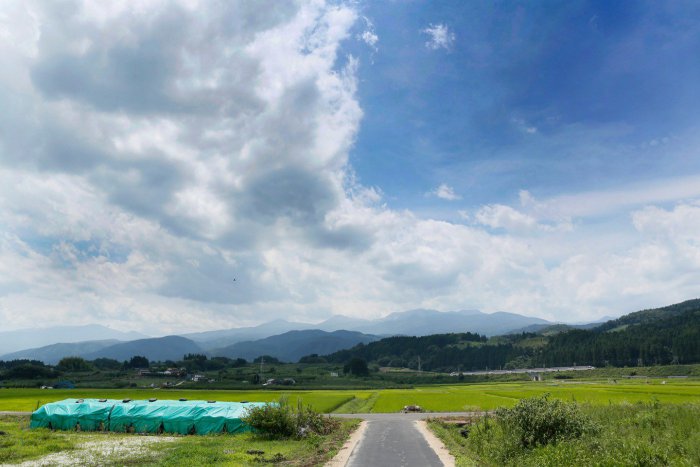
Photo: Photographer Jun Nakasuji
Date taken: July 22, 2018 Niwasaka, Fukushima City (Illustration 17 metropolitan prefecture radioactivity measurement map + interpretation series P. 2-P. 3 is a photograph that has been published in "Introduction")
